Surge tanks are applied in hydropower plants to reduce the pressure forces during acceleration of the water, and to enable speed governing of the turbines.
There are two main types of surge tanks; the open surge tank connected to atmospheric air, and the closed surge tank constructed as a closed volume filled with pressurized air.
However, numerous variants exist within the two main types. The different variants have different benefits and challenges, and the selection of design is dependent on site and project-specific factors.
A surge tank uses, with presentation and comparison of all the different types and variants of surge tanks, would enable hydropower engineers to make an easier and improved selection for new hydropower projects.
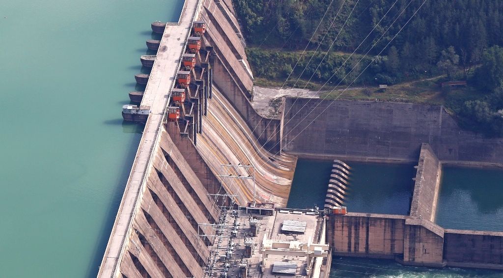
The surge tank is located between the almost horizontal or slightly inclined conduit and steeply sloping penstock and is designed as a chamber excavated in the mountain.
Surge tanks serve a threefold purpose:
- Release excessive pressure.
- Reduce overpressure due to water hammers.
- Provide water supply to the turbines in case they start up.

Use of surge tank in hydro power plant
Release excessive pressure
Upon the rapid closure of the turbine, water masses moving in the pressure tunnel and in the penstock are suddenly decelerated.
Owing to the inertia of moving masses, F = ma, high overpressures develop at the lower end of the penstock, which are propagating upwards in the penstock in the form of the pressure waves. The magnitude of the so-called water hammer, caused by the moving masses by closure, will depend upon the dimensions and elastic properties of the conduit.
The overpressure due to the water hammer travels along the closed conduit and is not relieved until a free water surface is reached.
An important function of the surge tank can be summarized like this. The turbines to the reservoir are practically interrupted by the surge tank to prevent the pressure wave due to the water hammer at the free water surface and to free the pressure tunnel from excessive pressures.
Reduce overpressure due to water hammer
The surge provides protection to the penstock against damage from the water hammer. The overpressure depends upon the length of the penstock (the closed conduit). The surge tank, by interrupting the closed system of the penstock and of the pressure tunnel, reduces the overpressure due to the water hammer.
Provide water supply to the turbines
The third purpose of the surge tank is to provide water supply to the turbines in case of starting up. The amount of water required during these changes in operating conditions is supplied by the surge tank installed in the conduit.
The capacity thereof should be selected to ensure the required water supply during the most unfavorable increase in demand until the water mass in the tunnel has attained the necessary velocity. Air should be prevented from entering the penstock even in case of the deepest down surge in the chamber.
The function of a surge tank is?
Where is the surge tank located in a hydroelectric power plant?
The height of the surge tank is governed by the highest possible water level that can be expected during operation. Variations in demand initiated by a rapid opening or closure of the valve or turbine are followed by a time lag by the water masses moving in the tunnel.
Upon the rapid and partial closure of the valve following a sudden load decrease, water masses in the penstock are suddenly decelerated, and one part of the continuous supply from the tunnel fills the surge tank. The water surface in the surge chamber will be raised to above static level.
In the case of rapid opening, the flow in the tunnel is smaller than the turbine’s demand to supply water to the turbine. The water surface in the chamber will start to drop below the steady-state level.
To establish steady-flow conditions, the water surface will again start to rise from the low point, but owing to the inertia of moving water, will again rise over the steady level. The cycle is repeated all over again with amplitudes reduced by friction, i.e. the oscillation is damped.
The phenomenon described is the water surface oscillation. The maximum amplitude of water surface oscillation can be observed when the water demand is suddenly stopped.

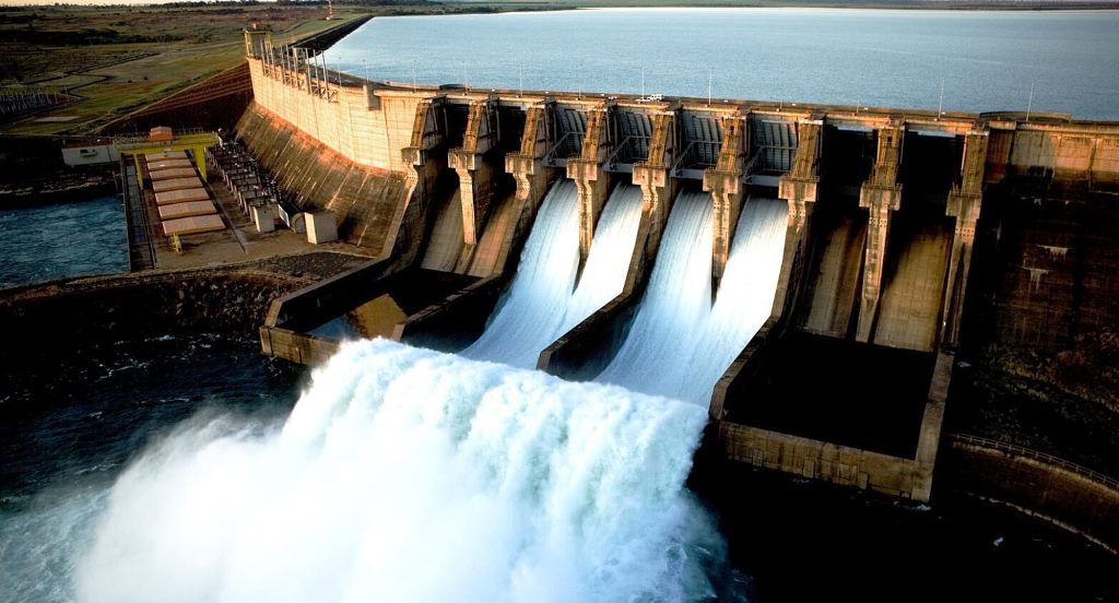
Surge Tank in Hydroelectric Power Plant
A surge tank is a water storage device that is used in a hydroelectric power plant, to cushion the variation of excess pressure.
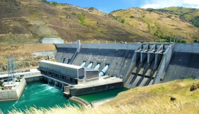
Surge Tank in Hydro Power Plant
Surge tanks can provide a fundamental feature for the hydraulic design of hydropower projects
Hydropower Advantages
Hydropower or hydroelectric power is the process of producing electricity utilizing the power of water.